We may earn a commission if you buy through links on this page. It never changes a score or a ranking. How we make money
MapTiler Cloud is our best overall pick for teams that need hosted maps and geocoding, custom styles and a separate self-hosted path. HERE Technologies is a better fit for routing and fleet work; Radar combines maps with geofencing and location risk tools. Before choosing, check how each service prices your expected requests, what its free tier covers and whether you can export data or host the stack yourself. Published integration details and prices vary, so confirm the operational terms with the vendor before committing.
Quick picksThe shortlist
 MapTiler CloudMapTiler CloudBest overall · $30/mo
 HERE TechnologiesHERE TechnologiesBest for routing · Free
 RadarRadarBest for geofencing · $0.02/mo
 FoursquareFoursquareBest for venue data · $25/mo
 GeocodioGeocodioBest for address cleanup · Free
 CARTOCARTOBest for BigQuery · Custom
 MapKit JSMapKit JSBest for Apple teams · $8.25/mo
01Compared at a glance
| Tool | Score | From | Free plan | Trial |
|---|---|---|---|---|
| MapTiler CloudMapTiler Cloud | 7.2 | $30/mo | Yes | — |
| HERE TechnologiesHERE Technologies | 7.0 | Free | Yes | — |
| RadarRadar | 7.0 | $0.02/mo | No | — |
| FoursquareFoursquare | 6.8 | $25/mo | Yes | 30 days |
| GeocodioGeocodio | 7.0 | Free | Yes | — |
| CARTOCARTO | 6.2 | Custom | No | 30 days |
| MapKit JSMapKit JS | 4.8 | $8.25/mo | No | — |
02The picks, in detail
- Best overallMapTiler CloudMapTiler Cloud
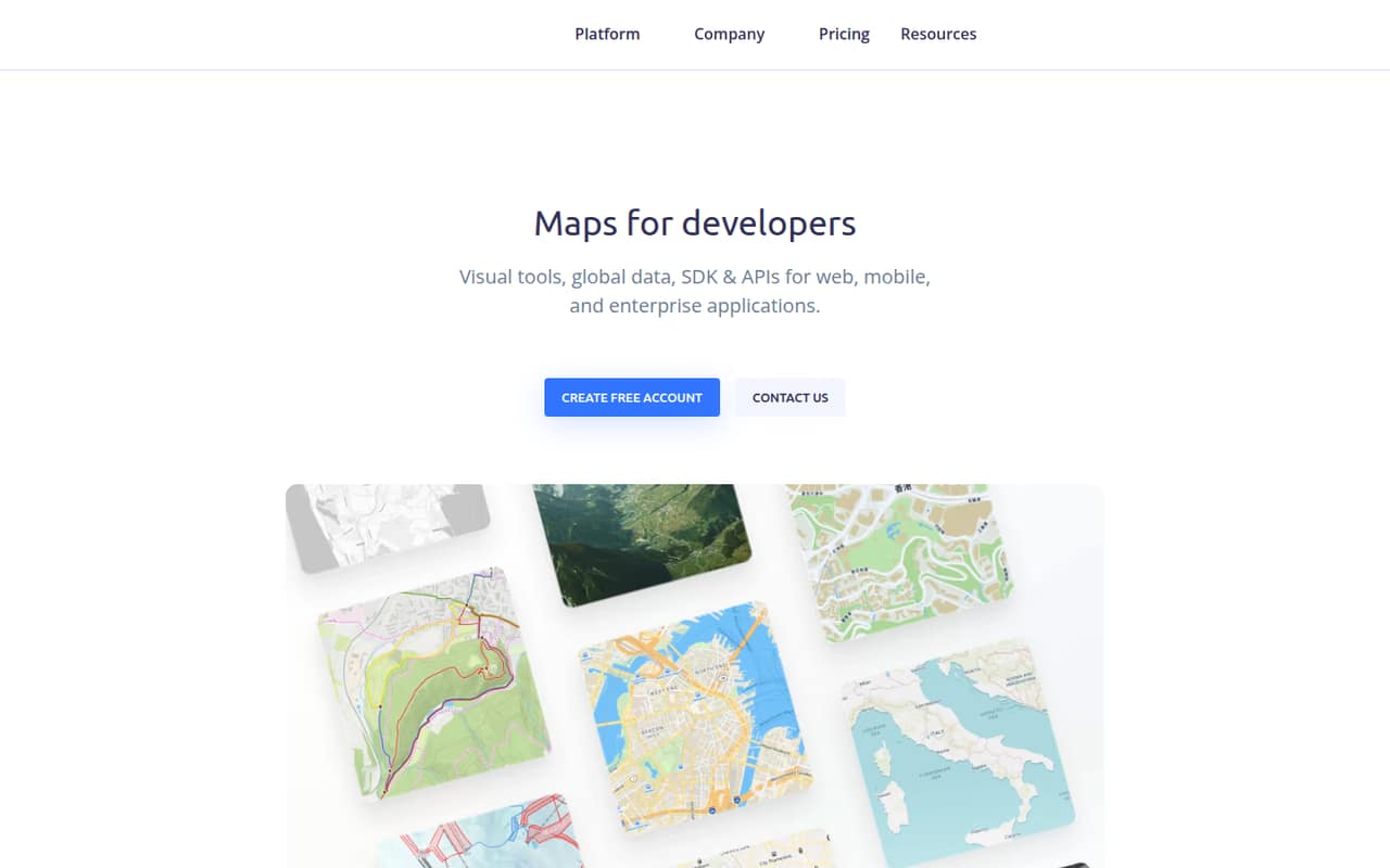
MapTiler Cloud combines hosted maps and location APIs with custom map styles, a $30 Flex tier and a separate self-hosted path. That gives developers more deployment flexibility than a hosted-only choice. Check how the Flex tier bills at your expected request volume, and confirm what the self-hosted option includes before designing around it.
What works
- Ready-to-use styles for several mapping use cases
- TypeScript SDK and mobile SDKs
- Uploads include TIFF, GeoJSON, KML and GPX
What doesn't
- Free plan has monthly usage quotas
- Flex overages are billed as add-ons
- API rate limits are not published on the homepage
- Best for routingHERE TechnologiesHERE Technologies
HERE Technologies is the strongest fit in this group for fleet routing and tour planning, with a broader location platform for product teams and automated-driving map applications. A free usage tier gives teams a way to evaluate the service. The paid starting price is not published; confirm quotas, migration costs and the integration path for your stack.
What works
- Free Base Plan with monthly transaction allowances
- Mapping, search, routing and tour planning
- Solutions span fleets and automated driving
What doesn't
- Usage beyond allowances can increase bills
- Enterprise pricing and limits are custom
- Homepage does not name SDKs or languages

- Best for geofencingRadarRadar
Radar brings maps, geofencing and location risk tools together, which suits teams building location-aware operations or fraud checks. Its usage-based pricing starts at $0.02, and annual commitments are part of the pricing model. Ask which events or requests incur charges, how the commitment applies to your workload and what happens when usage varies.
What works
- Combines maps, geofencing and location products
- Offers geocoding, autocomplete, search and routing
- Reveal scores sessions without location permission
What doesn't
- No free plan or free trial is listed
- Agreements require annual commitments
- SDK languages and API protocols are not named
- Best for venue dataFoursquareFoursquare
Foursquare is a fit when venue data, geospatial tools or analysis of real-world movement matter more than a general-purpose map layer. Pricing starts at $25 and a free plan is listed. Its open-source status needs component-level verification: confirm which code carries an open-source licence and whether that applies to the venue-data service you plan to use.
What works
- Places API provides venue data for apps and discovery
- Pro endpoints include a free first-call band
- Products cover attribution, audience targeting and geofencing
What doesn't
- The homepage does not name API protocols or languages
- Ask API rate limits differ and need confirmation
- The homepage does not identify an open-source license

- Best for address cleanupGeocodioGeocodio
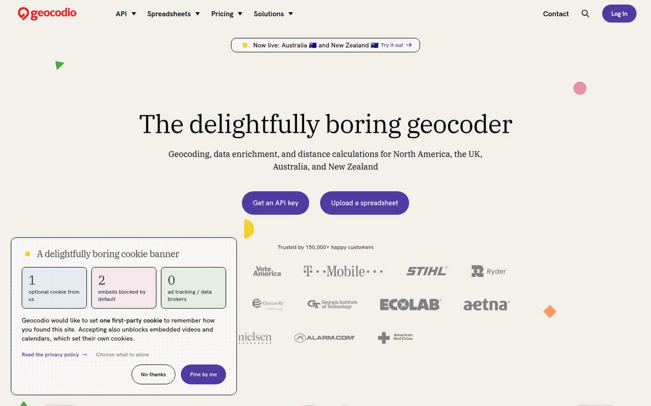
Geocodio targets address cleanup and enrichment, spreadsheet workflows and North American geocoding. That narrower scope can suit teams that need address processing rather than a full mapping platform. A free plan is listed, but published plan prices are missing. Confirm request limits, paid-tier costs and coverage for your target regions before sending production data.
What works
- 2,500 free lookups per day, forever
- API and no-code spreadsheet workflows
- Handles typos and missing postal codes
What doesn't
- Plan prices are not published
- Flex credit amounts are not published
- SDKs and supported languages are not named
- Best for BigQueryCARTOCARTO
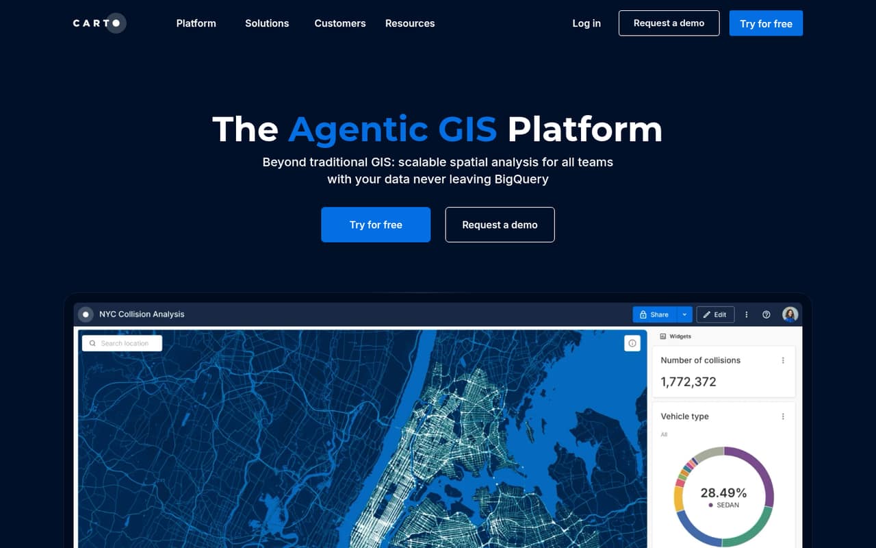
CARTO is a cloud-native spatial platform aimed at BigQuery users, analysts building spatial workflows and enterprises developing location applications. Its analysis tools make it a candidate for teams that need more than map display. Pricing and developer integration details are unclear, so ask about API access, supported workflows and expected costs before making it a core dependency.
What works
- Works within cloud data ecosystems, including BigQuery
- Offers 100+ drag-and-drop analysis components
- Supports app development in a data lakehouse
What doesn't
- Plan prices are not published
- No free plan is listed
- API protocol and SDK support need confirmation
- Best for Apple teamsMapKit JSMapKit JS
MapKit JS is a JavaScript mapping option for web projects, particularly when a team already works within Apple's developer program. Its daily quotas are described as clear, and the listed starting price is $8.25. Confirm the billing unit, quota values and integration requirements before estimating production costs or choosing it for a high-volume application.
What works
- Published daily limits for core usage
- Annual membership costs are listed
- Additional capacity can be requested
What doesn't
- No free plan is listed
- Overage and seat costs are unpublished
- Token domain rules may block app webviews

03How we chose
We ranked these tools by how well they fit developer and technical-team needs: documented API and integration paths, the usefulness of free tiers, pricing that can be tied to usage, and deployment flexibility. We also considered whether a product supports self-hosting or has an open-source licence, while treating those as separate questions. Reddit sentiment is a secondary signal where attributable user reports are available; it cannot replace vendor documentation for quotas, pricing or production behavior. We did not claim hands-on testing.
04Map the API boundary to your application
Start with the job your code needs to perform: render a map, geocode addresses, route vehicles, check geofences or analyze venue and movement data. These are different workloads, and a platform built around spatial analysis is not automatically the right choice for a client-side map. Check the vendor docs for the API surface and integration path your application needs, then confirm how authentication, request handling and data flows fit your architecture. The available product details do not establish language-specific SDK coverage for every option, so ask the vendor for the supported SDKs and examples in your stack. For location-sensitive systems, also decide which operations can tolerate a third-party dependency and what your application does when that service is unavailable.
05Price usage and plan for an exit
Estimate cost from your expected workload, not the headline starting price. MapTiler Cloud lists a $30 Flex tier and a free plan; Radar starts at $0.02 and has annual commitments; Foursquare starts at $25 with a free plan. Those figures do not establish what a specific volume will cost. Ask each vendor which requests are billable, how quotas work and what overages or commitments apply. Then review the licence and deployment model separately: MapTiler Cloud has a self-hosted path, while an open-source label alone does not prove that a data API can be hosted locally. Before storing application data in a provider's format, verify export options, portability terms and the work required to switch providers.
Questions people ask
What is the best mapping API for developers?
MapTiler Cloud is our best overall pick because it combines hosted maps and location APIs, custom styles and a separate self-hosted path. Teams focused on fleet routing may prefer HERE Technologies; teams needing geofencing and location risk tools should compare Radar.
Which mapping APIs have a free plan or free tier?
MapTiler Cloud, Foursquare and Geocodio list free plans, and HERE Technologies lists a free usage tier. The available details do not give the quota values for these tiers. Check the vendor's current terms and confirm what counts toward usage before relying on a free allocation.
Which mapping API can I self-host?
MapTiler Cloud has a separate self-hosted path. Foursquare is identified as open source, but confirm which components have an open-source licence and whether the venue-data service can run locally. An open-source codebase and a self-hostable hosted API are not the same thing.
How should I compare mapping API prices?
Compare the billable unit, free-tier quota, overage rules and any annual commitment against your expected workload. Radar lists usage-based pricing from $0.02, while other listed starting prices do not specify enough detail to calculate a production bill. Ask vendors for a cost estimate using your expected request mix.